

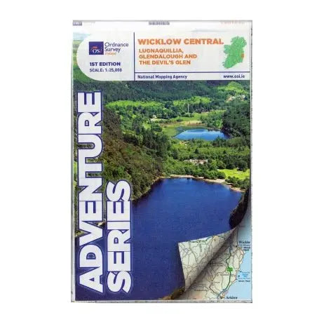

Explore the scenic beauty of Wicklow with the OSI Adventure Series 1:25K Map - Wicklow Way Central. Featuring detailed topographical information, this map is perfect for hiking and outdoor adventures.
Features:
- Highly detailed 1:25,000 scale for precise navigation
- Covers central section of the Wicklow Way
- Includes towns: Roundwood, Laragh, Vale of Glendalough, Glenealy, Rathdrum, Ballyknockan, and Hollywood
- Highlights mountains: Lugnaquilla, Mullaghcleevaun, Luggala, Tonelagee, Scarr, and more
- Shows rivers: Avonmore, Vartry, Glendasan, Glenmacnass, Avonbeg, Slaney, and Kings River
- Depicts lakes: Lough Tay, Lough Dan, Lough Ouler, Upper and Lower Lake Glendalough, Vartry Reservoir
- Includes part of Wicklow National Park
- Features numerous trails and walks: Waterfall Walk, Seamus Heaney Walk, St Kevin's Way, Jubilee Walk
- Highlights historic and natural sites: Glendalough Monastic Site, Glenmacnass Waterfall
| Language | English |
|---|---|
| Licence | Paper Standard Ts & Cs |
| Page Size | Full Sheet |
| Scale | 1:25,000 |
| Orientation | Landscape |
| Edition | 1 |
| Year | 2015 |
We offer free delivery on all orders over €75, and €5.95 for all orders under €75.
-We aim to ship all orders placed before 1:00pm on the same business day and have it delivered next-day, but in busy periods this can take longer, so allow for up to 3 working days for fulfillment.
We accept returns within 31 days of receiving the item, either in-store or by post.
- All items returned must be suitable to be sold again as new. For our full returns policy - click here.
- In-store returns are Free of charge, and returns posted with An Post via our returns page are €5 from a post office, or €6 collected from your home.
- All returns can be organised with An Post click & post, and will be fulfilled as soon as they arrive back at our store. Click here to start a return.
-Extended Christmas Returns - Enjoy extended returns for this Christmas! Return items online or in-store until Saturday the 10th of January.