


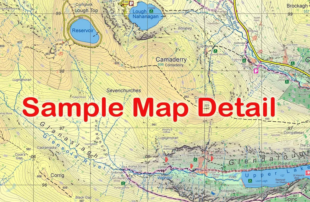
When hiking in Lugnaquilla & Glendalough, having as much detail as possible in your map can help make the trip more fun as you find new tracks and trails plus, help to keep you on the tracks that you intend to stay on.
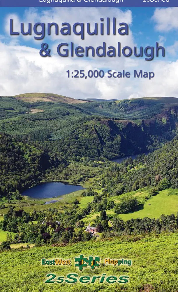
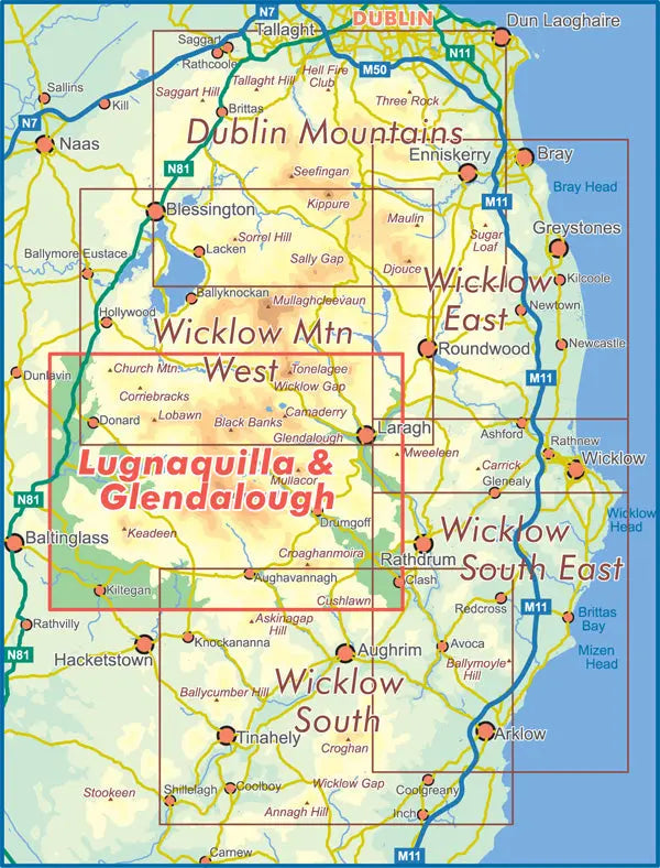
Definitive detailed map from the East West Mapping 25 Series of Wicklow at 1:25,000 scale covering from Wicklow Gap to Aughavannagh and Donard to Laragh. Districts of Glendalough, Glenmalure, Lugnaquilla, Wicklow Gap and Imaal all shown. Depicts in very considerable detail some of the most scenic parts of Wicklow for the benefit of both visitor and local alike. East West Mapping have conducted considerable research into local sites & placenames and much information is recorded on this map. Printed on good quality Progeo 90gsm map paper. The map sheet measures 1125mm x 820mm, covering 550 sq kilometres and is folded down to 125mm x 205mm.
We offer free delivery on all orders over €75, and €5.95 for all orders under €75.
-We aim to ship all orders placed before 1:00pm on the same business day and have it delivered next-day, but in busy periods this can take longer, so allow for up to 3 working days for fulfillment.
We accept returns within 31 days of receiving the item, either in-store or by post.
- All items returned must be suitable to be sold again as new. For our full returns policy - click here.
- In-store returns are Free of charge, and returns posted with An Post via our returns page are €5 from a post office, or €6 collected from your home.
- All returns can be organised with An Post click & post, and will be fulfilled as soon as they arrive back at our store. Click here to start a return.
-Extended Christmas Returns - Enjoy extended returns for this Christmas! Return items online or in-store until Saturday the 10th of January.